


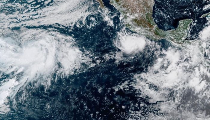
Hurricane Polo has degraded from Category 5 to a powerful Category 4 storm with sustained winds near 180 mph and stronger gusts, according to the US National Hurricane Center.
With recent decline in intensification, it is not currently expected to make a direct landfall on the coast of Mexico. But a high alert is still in place for the residents.
Speaking about the trajectory, it is slowly drifting northwest off the south-west coast of Mexico, threatening states including Colima, Jalisco and Michoacan. It was previously a category 5 storm , the highest level on the scale, but was weakened to category 4 on Wednesday morning.
According to a recent forecast, “the recent drifting toward northwest will drive torrential rainfall in parts of Mexico’s south-west coast, and may produce life-threatening flooding and mudslides, especially in areas of steep terrain.”

Polo is expected to drop up to 6 inches of rain generally with localized totals up to 8 inches. Dangerous, large ocean swells and life-threatening surf conditions are expected along the Pacific coast for multiple days.

But data from the Hurricane Hunter aircraft showed the possibility of Polo once again strengthening into a more powerful one because of a very conducive environment of extremely warm ocean waters feeding the storm driven by super El Nino as per NOAA.
Sea surface temperatures in the central-eastern Pacific reached 3.05 C above average on September 19, breaking the previous record of 3.02 C set in 2015.