


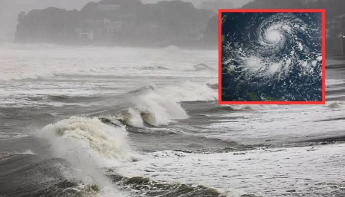
Typhoon Dujuan (Typhoon No. 25) has tracked toward central and eastern Japan, bringing torrential rain, violent winds, and widespread disruptions to the Tokyo metropolitan area and surrounding regions.
The Japan Meteorological Agency (JMA) issued serious warnings for record-breaking rainfall, severe flooding, and landslides across Tokyo, Chiba, Kanagawa, and Shizuoka prefectures. Non-mandatory evacuation advisories have been extended to over 1.6 million residents.
Hundreds of flights have been grounded by major carriers like Japan Airlines and All Nippon Airways, while train operators have suspended regional and limited express services.
The storm hit during a busy holiday period, forcing the early closure of the Tokyo Game Show, the cancellation of major outdoor music and sports events including adjustments at the Asian Games, and localized power outages.

On Izu Oshima Island, more than 700 mm of rain fell locally within 24 hours, while hourly rainfall totals exceeded 100 mm in isolated locations.

A Level 5 landslide warning was also issued for the town of Oshima in the Izu Islands.
The typhoon continues to move northeastwards and is expected to come very close to the Kanto-Koshin region overnight.

Depending on its exact track, very strong winds with gusts around 90 km/h (25 m/s) are expected, with even stronger gusts over the sea.
Extremely heavy rain and localized torrential downpours are also forecast, with isolated rainfall totals reaching around 200 mm. Flash flooding and landslides are possible.
On Tuesday, the typhoon is expected to move gradually farther northeastwards over the open ocean, while hazardous weather conditions across Honshu gradually ease.
