


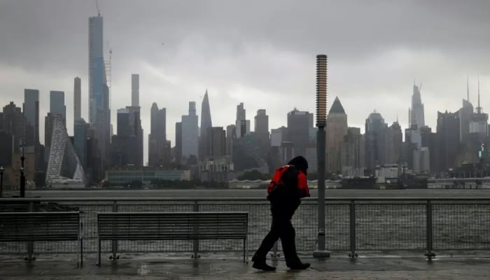
Severe thunderstorms could bring flash flooding, damaging winds, hail and an isolated tornado to the New York City area on Thursday.
Moisture is expected to increase ahead of a cold front, with showers possible during the morning before stronger storms develop later in the afternoon.
A flood watch is set to take effect at noon for parts of the tri-state area.

Heavy downpours could produce rainfall rates of two inches or more per hour, raising the risk of isolated flash flooding.

Most areas are expected to receive less than two inches of rain, but locations hit by the strongest storms could see five inches or more.
The greatest flash flood risk is expected across the New York City metro area and west into central New Jersey.

Severe thunderstorms could also bring damaging straight-line winds, hail and the possibility of an isolated tornado. The greatest severe weather threat stretches from central and northern New Jersey into the Hudson Valley.
Rain and thunderstorm chances are forecast to decrease later in the evening as the system moves through the region.

At The News Digital, our editors combine entertainment savvy with global reporting expertise. Expect authoritative coverage of royals, Hollywood, and trending topics, plus clear, reliable updates across science, politics, sports, and business. We keep it accurate, timely, and easy to understand, so you can stay ahead.
