



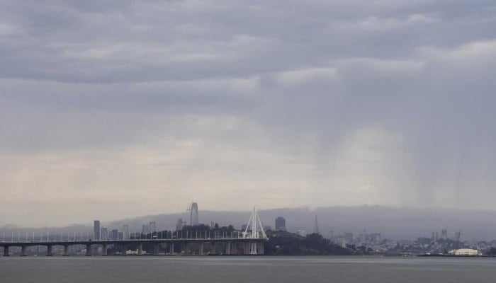
California is set to experience its first significant monsoon weather pattern of 2026, bringing high temperatures, humidity, thunderstorms and an increased wildfire risk, according to the original report.
Forecasters say Northern California could see isolated thunderstorms from Sunday into Monday, with Monterey, San Benito, Santa Cruz, Santa Clara and parts of the East Bay most likely to be affected.
National Weather Service meteorologist Rachel Kennedy warned that rainfall may be limited because much of it is expected to evaporate before reaching the ground.

“If any lightning does strike the ground, we may see more, easier fires start,” Kennedy said.

Southern California is expected to face more intense conditions. Much of the region is under a Heat Advisory, with inland temperatures forecast to reach between 90F and 105F through the weekend.
An extreme heat eatch is due to begin on Tuesday, with temperatures in some valleys potentially climbing to 112F.

Coastal areas are expected to remain cooler, although higher humidity could make conditions feel more uncomfortable.
There is also a five to 20 percent chance of thunderstorms across the mountains of Ventura and Los Angeles counties through Sunday night.
The report also says forecasters are monitoring tropical systems in the eastern Pacific that could generate the first major hurricane swell of the season.
